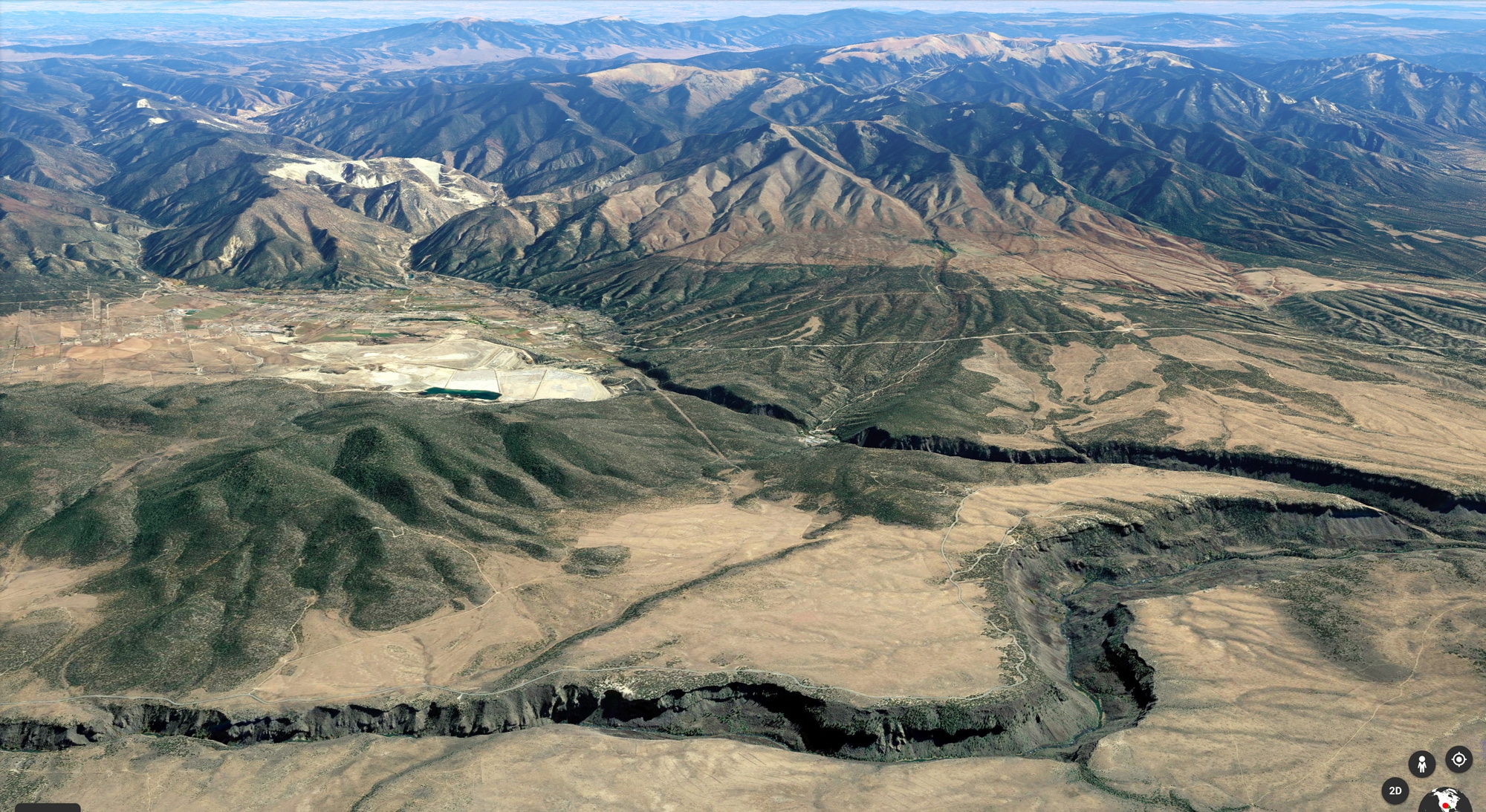
Maps
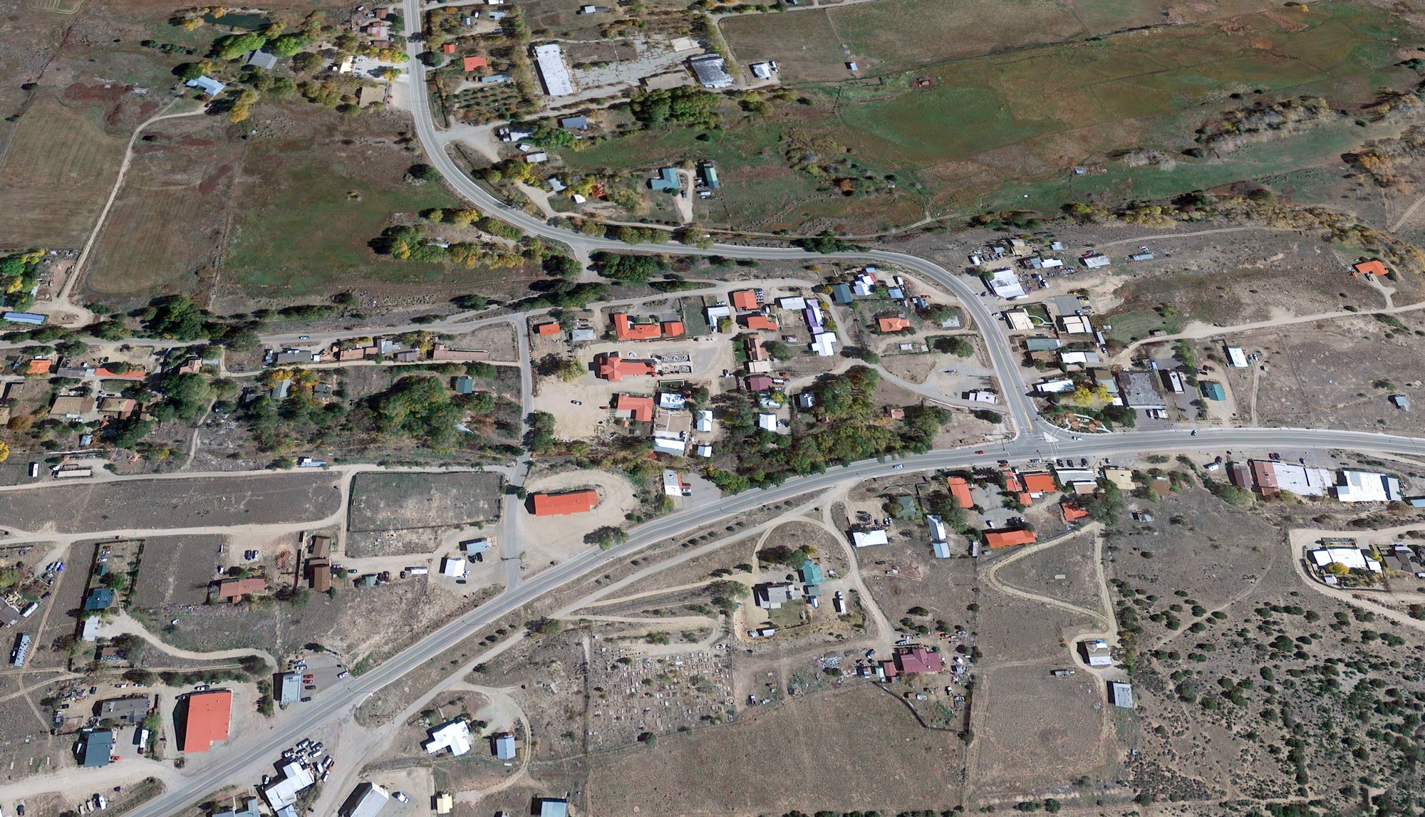
1. Image shows “downtown” Questa, from NorthStar & Fire Dept (lower left), Post Office (top), to Carquest (right)
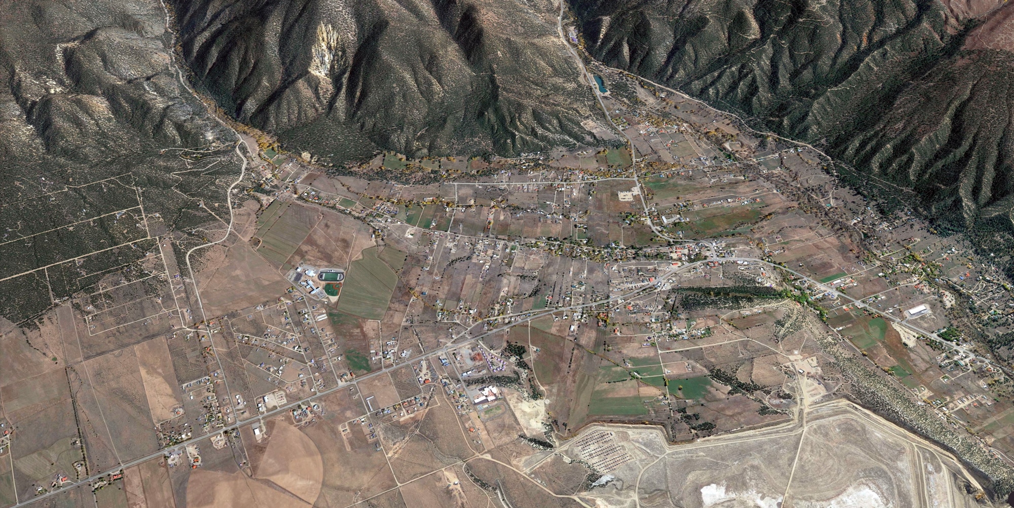
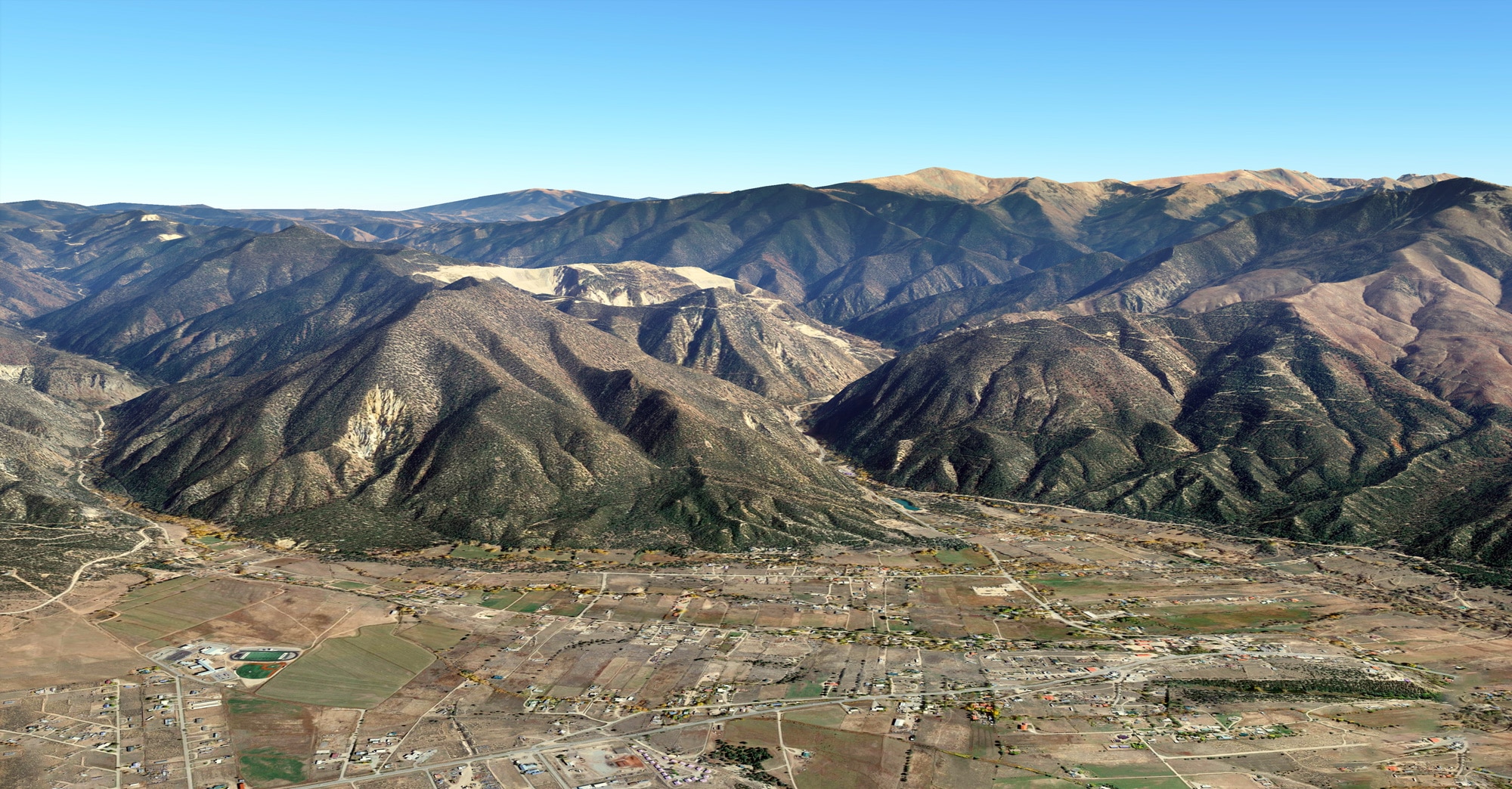
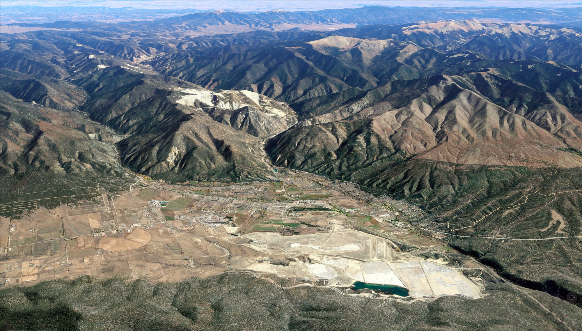
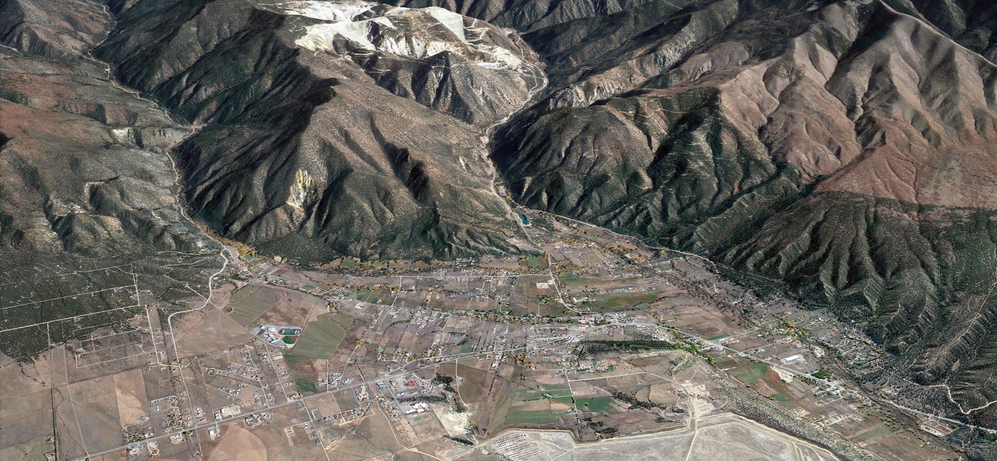
2. Image shows most of Questa, from Cerro turnoff (lower left), Cabresto and Red River canyons (top), to bridge and Kachina Lodge (right)
3. Image shows view of Questa with Sangre de Christos.
4. Image shows view from Flag Mountain toward Ute Peak, with Questa below.
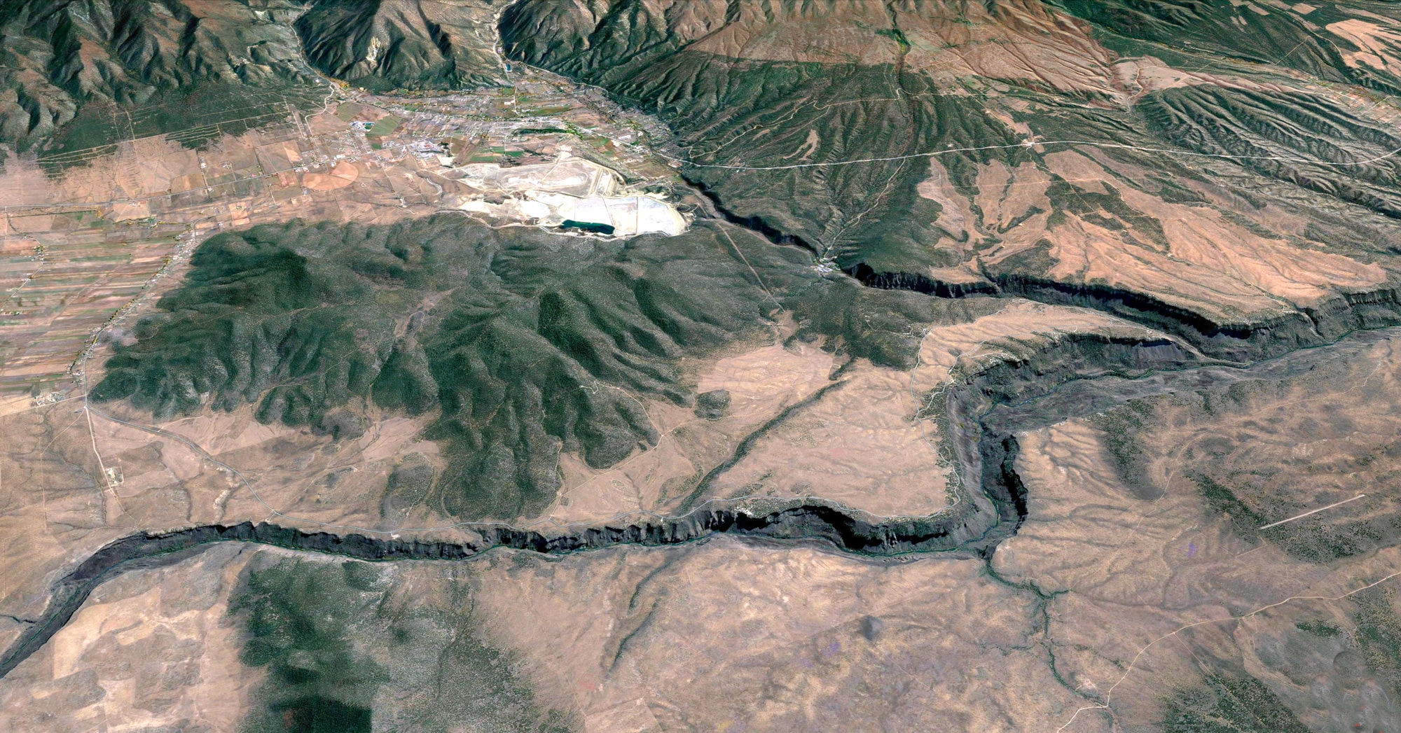
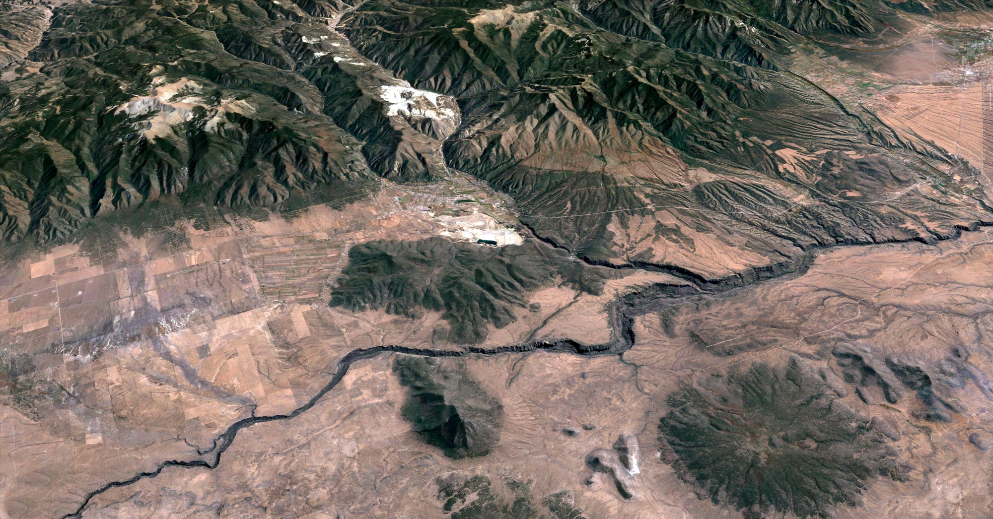
5. Image shows Wild Rivers Backcountry Byway from Sheep Crossing to La Junta Red River/Rio Grande convergence.
6. Image shows Wild Rivers Backcountry Byway from Sheep Crossing to La Junta Red River/Rio Grande convergence.
7. Image shows most of Questa, from Cerro turnoff (lower left), Cabresto and Red River canyons (top), to bridge and Kachina Lodge (right)
8. Image shows Wild Rivers Backcountry Byway from Sheep Crossing to La Junta Red River/Rio Grande convergence.
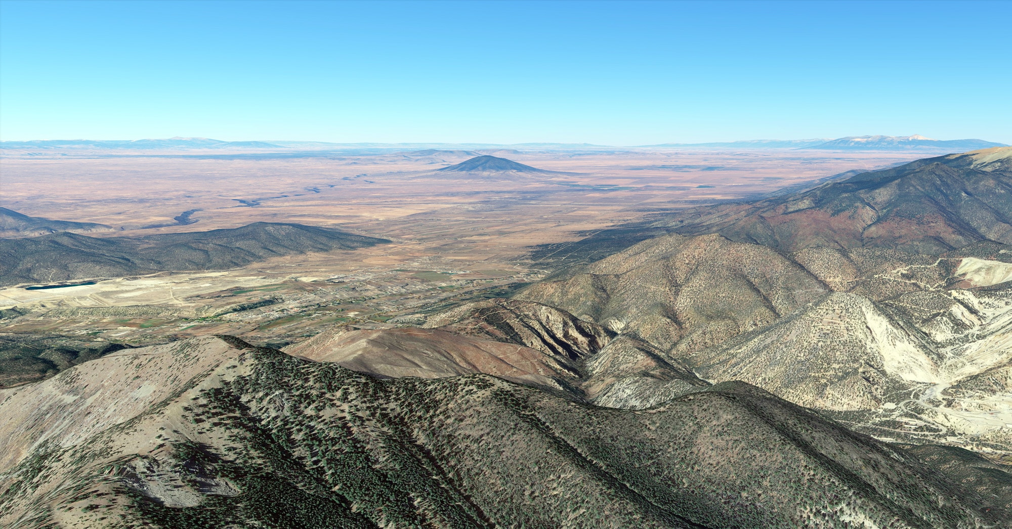
9. Far above Questa…