


Rio Grande Del Norte National Monument Rides
Include “the Monument” in your road bike or mountain bike cycling plans. The Monument’s for 250,000 unspoiled, remote acres that border the Rio Grande. When you enter the Monument the landscape transitions into pristine wilderness with wide-open plains dotted with native sage and extinct volcanic cones.
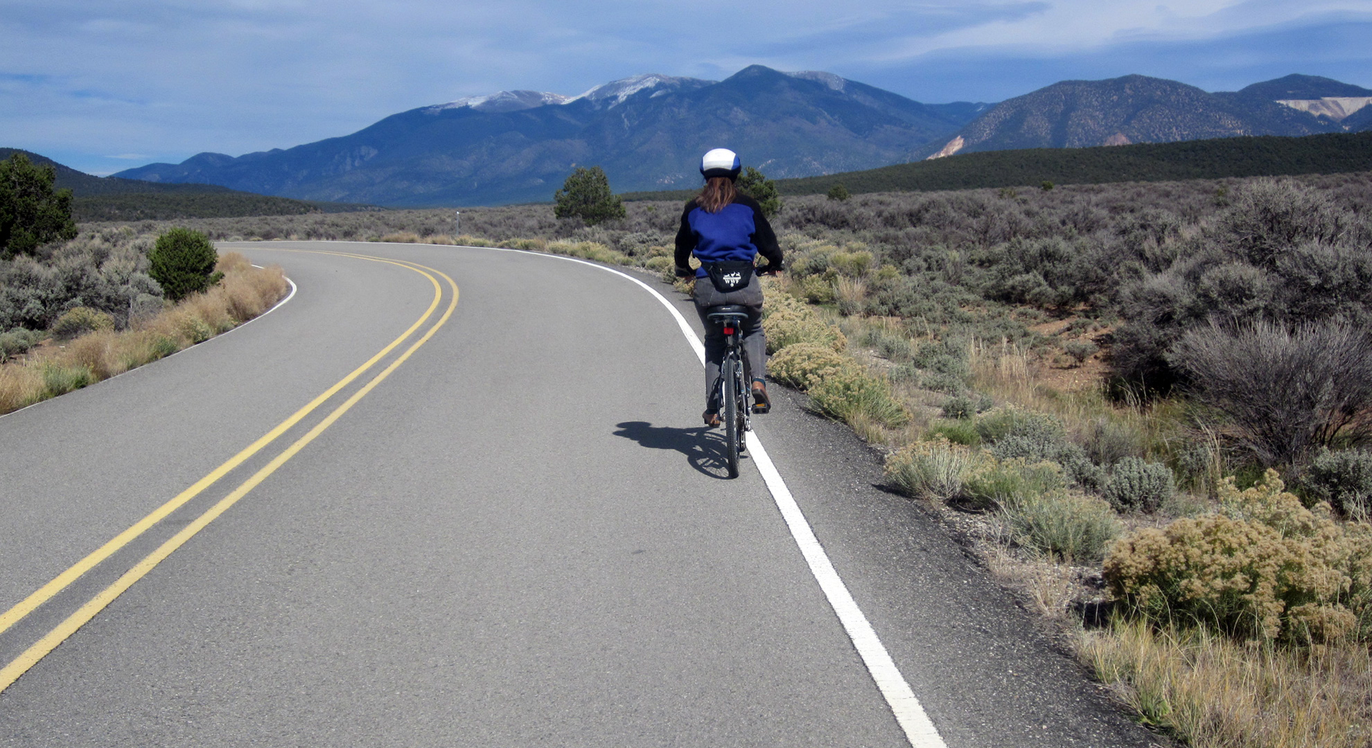
The paved road through the Monument is 35-miles round trip and passes numerous trailheads where you can park your car and ride from there or follow it to the five-mile loop at the end that leads to several campgrounds and additional trailheads. The Wild Rivers Visitor Center is located on the loop offering restrooms, water, books and maps for sale, and a knowledgeable staff of rangers and volunteers; call for hours of operations. La Junta Point Overlook (ADA accessible) marks the furthest point on the paved road within the Monument with spectacular views into the Gorge of the confluence of the Rio Grande and Red Rivers.
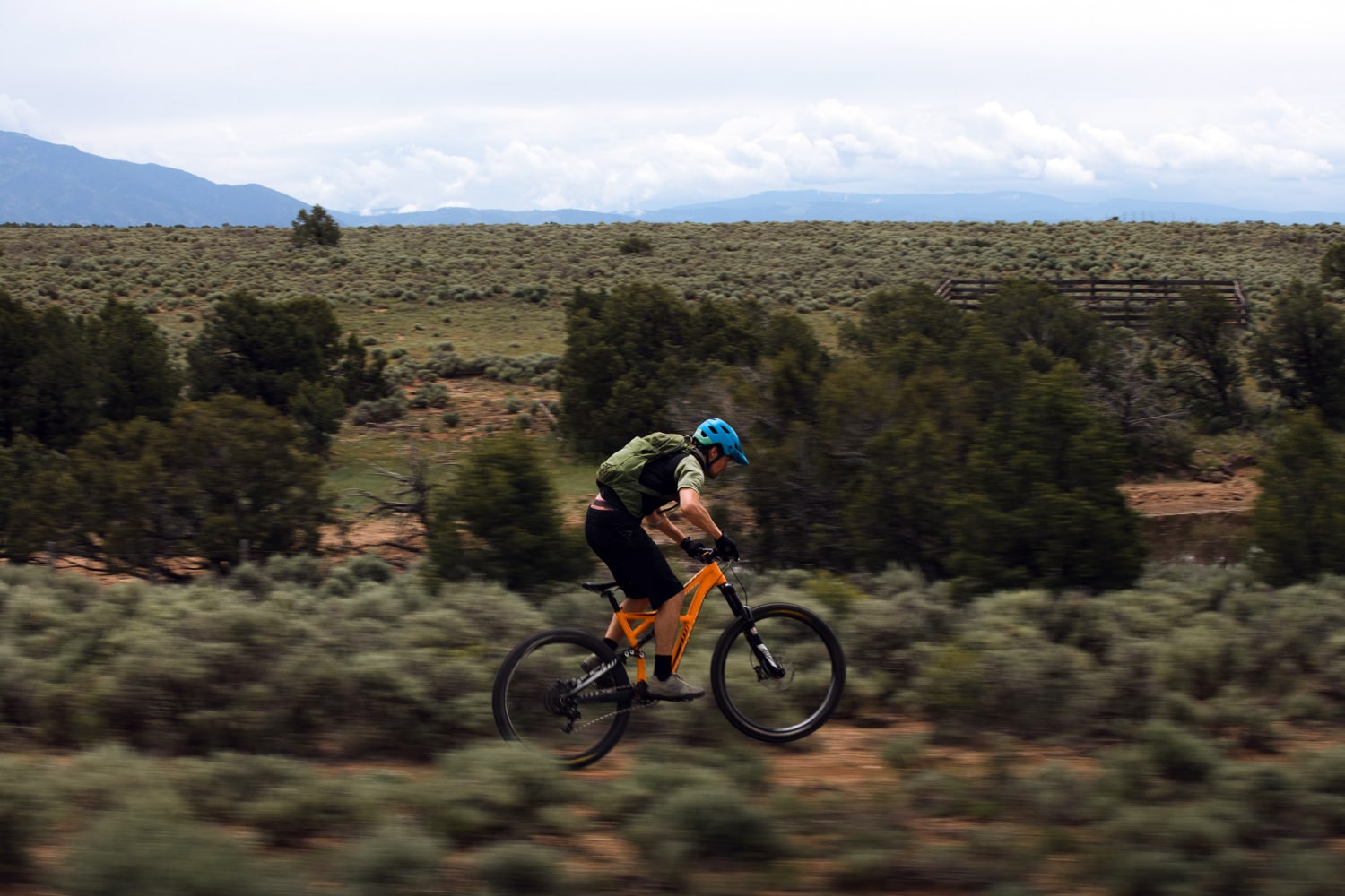
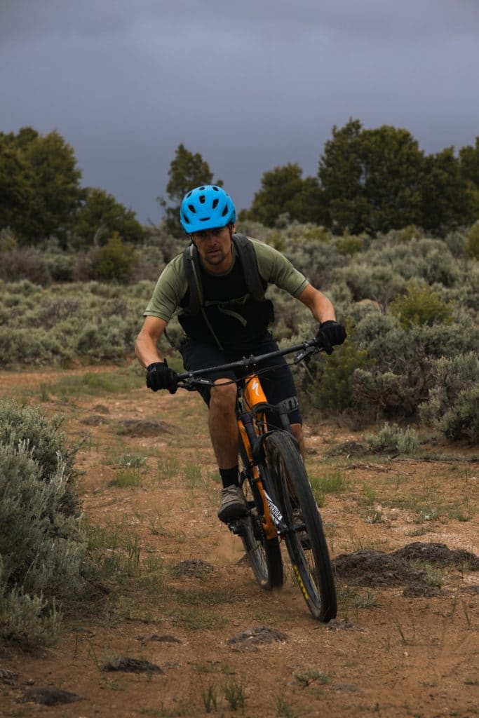
Off-road cyclists adventure out to explore endless trails and dirt-tracks etched through the protected public lands within the Rio Grande del Norte National Monument.
- The East Rim Trail is accessed from one of the first trail heads in the park, this thirty-mile one-way ride runs along the rim of the Río Grande gorge with great views along a gentle double track, circling around Ute Mountain at the New Mexico and Colorado border.
- Riconada Loop Trail is a 5.5-mile relatively flat gravel trail from the Wild Rivers Visitor Center. The trail shadows the paved road loop past the Monument campgrounds.
Road bikers revere the well-paved road from the entrance throughout the Monument; it has light traffic and is relatively flat with a few rolling hills to keep the ride interesting at places. The road meanders along the rim of the 800-foot-deep Rio Grande Gorge with spectacular overlooks and views of the confluence of the Rio Grande and Red Rivers.
Directions to the Rio Grande Del Norte National Monument from the Questa traffic light:
Head north on NM-522 for 2.6 miles; look for signage for the Village of Cerro and the National Monument. Turn left/west onto NM-378 into Cerro; drive 3.5 miles through the winding community and just past the last residence a large sign marks the entrance to the Monument. The well paved road through the Wild Rivers section of the Monument is approximately 35 miles round trip.
Questa To Taos Ride
The ride from Questa to Taos is 24 miles one-way on State Highway 522 straight through. It is a 500-foot elevation drop from Questa to Taos, with some serious hills along the way for challenging climbs and rewarding descents through San Cristóbal and Arroyo Hondo. The road is narrow in areas with varying levels of surface conditions and shoulders can be narrow or non-existent; cell reception is sketchy along the route and there are no services on the road; stay alert, take plenty of water, and be safe.
From the Questa traffic light, head south on State Highway 522 all the way to Taos. This route offers wide open views across the Hondo Mesa. This is also a portion of the 84-mile Enchanted Circle Scenic Byway loop.
Vistas De Questa Mountain Bike Trail
This 6-mile-long mountain bike trail is a moderate single-track with a 500’ elevation gain with several off chutes to explore. Although the trail is outside the Rio Grande Del Norte National Monument, it connects to the Monument’s paved road, offering an alternative option for the return ride. At the end of the trail, follow a dirt road for one mile west to the paved monument road and enjoy the 12-mile paved loop past dramatic overlooks. Return onto the mountain bike trail to the original trailhead or stay on the paved road through the town of Cerro back onto NM-522, which is one mile north of your starting point.
Directions to Vistas De Questa Trail from the Questa traffic light:
Drive north on NM-522; at approximately 1.5 miles turn left/west on to Don Martinez Road. Continue for half a mile to the end of road and park in the small lot, the trailhead is the right.
Enchanted Circle Scenic Byway Ride
This 84-mile scenic loop takes you through five of northern New Mexico’s quaintest towns, where you will experience their cultural heritage, architecture, diverse topography, and phenomenal scenery. Cyclists will enjoy the ride through these communities, which make a large loop around Wheeler Peak, New Mexico’s highest point at 13,159 feet. Be cautious, the roads can be narrow without a shoulder, wildlife bounds into the roads, and cars drive too fast. Take plenty of water, be aware of changing weather conditions, stay alert, and be safe.
Directions for the Enchanted Circle Scenic By Way Drive
Drive west on NM-38 for 13 miles to the town, and Ski and Summer Resort of Red River.
Continue through Main Street and take the left-hand/east fork out of town climbing then descending Bobcat Pass for 17.5 miles takes you into the historic mining town of Eagle Nest.
In town, pick up NM-64 and turn south/right to drive past Eagle Nest Lake, the scenic drive for 12.5 miles connects you to the quaint mountain town of Angel Fire. Turn left/south on NM-434 / Mountainview Boulevard for 3 miles into the resort town and Ski Resort.
Returning to NM-64 turn left/west and drive for 24 miles into and through the historic town of Taos.
Staying on NM-64 drive north for 4 miles to the traffic light outside of town at the intersection of NM-64, NM-522, and NM-150; here you have three choices:
- Continue north/straight at the intersection and NM-64 turns into NM-522, which takes you through Arroyo Hondo then directly back to Questa.
- Turn east/right at the traffic light onto NM-150 and drive for 15 miles one way to visit Arroyo Seco, Taos Ski Valley, and Taos Ski Resort.
- Turn west/left at the light, following NM-64 for 8 miles to cross the famous Rio Grande Gorge suspension bridge.
Cycling Events
Enchanted Circle Century Bike Tour, Saturday, August 28, 2021
This supported tour around the Enchanted Circle is not for the faint of heart; it includes a short side trip from Angel Fire to Black Lake and back to total 100 miles, with shorter rides available. The ride starts and ends in Red River at 8,750 feet, transitioning to the lowest point at 7,000 feet through Taos, with the high point of 9,820 feet at the top of Bobcat Pass. For more information, click here.
Resources
Questa Visitor Center
1 NM-38 (at the traffic light)
Questa, NM 87556
(575) 586-2258
Taos Cyclery
1103 Paseo del Pueblo Norte
El Prado, NM 87529
(575) 758-5551
USFS Questa Ranger District
184 NM 38, Questa, NM 87556
(575) 586-0520
Wild Rivers Visitor Center in the Rio Grande del Norte National Monument
Managed by the US Bureau of Land Management
NM 378, Questa NM 87556
(575) 586-1150