
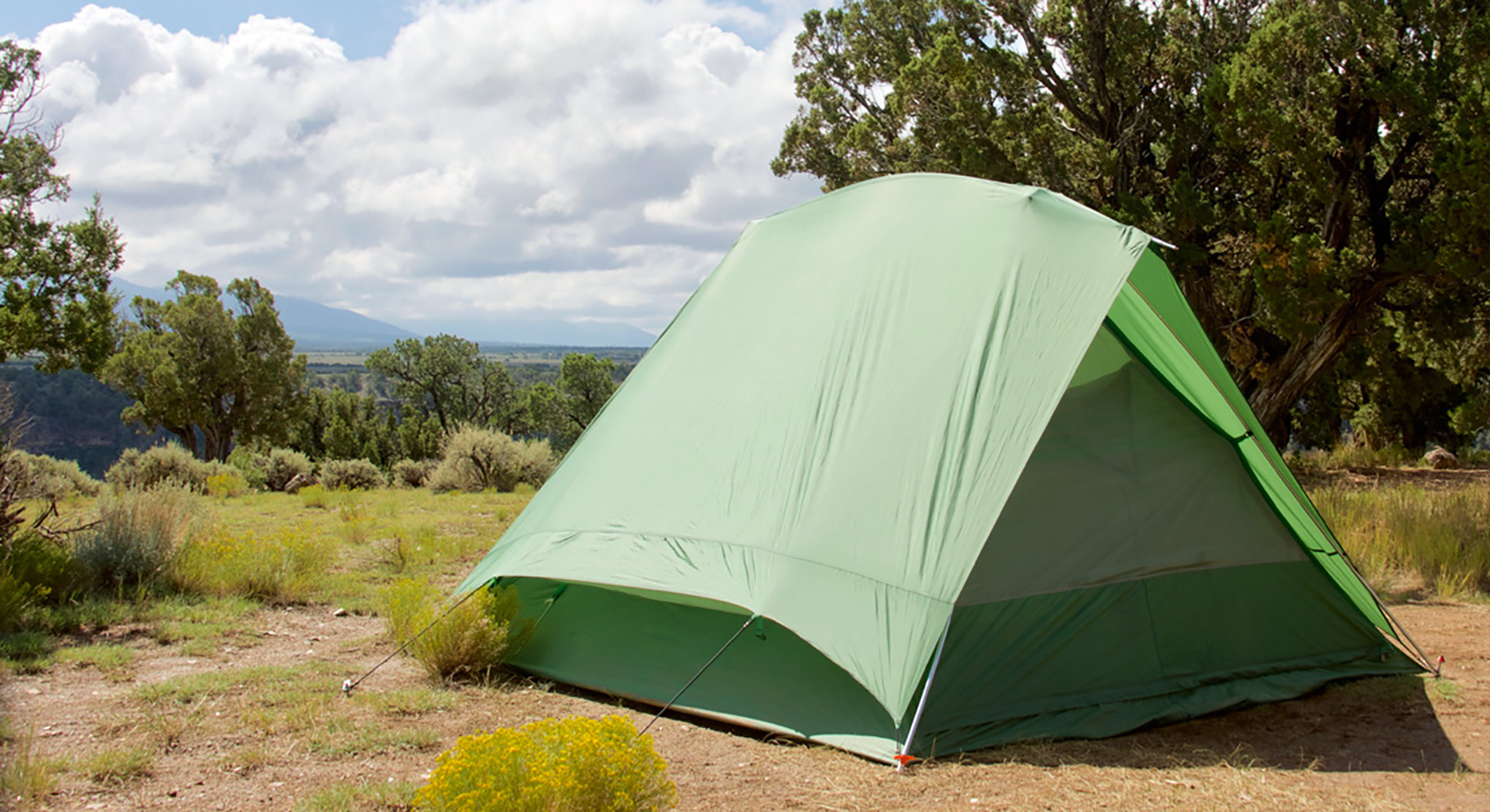
Camping in the Questa area is some of the most beautiful around the Enchanted Circle, with most sites open Memorial Day through October (schedules vary due to weather and other conditions; be sure to check availability).
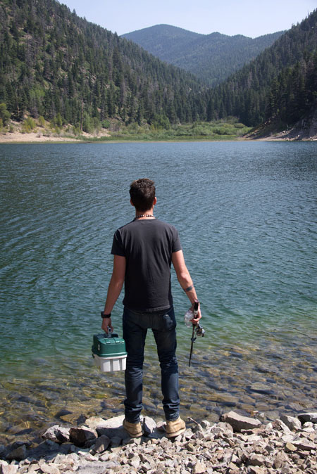
Camping sites can be found in the mountain forests, on the sagebrush mesa, and riverside at the bottom of the Rio Grande Gorge. Expect to see wildlife, experience quiet star-filled nights, and days filled with hikes, fishing, hunting, or painting, photography, and solitude. Be aware of changing weather conditions.
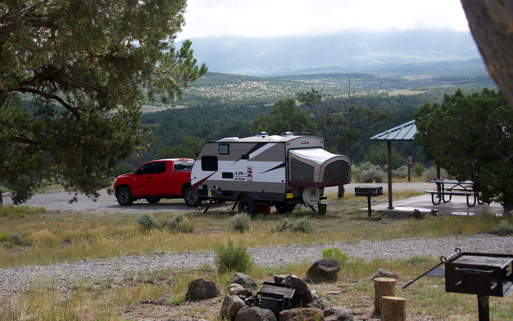
Most campsites in the Questa area are accessible by car; some are hike-to-only along the banks of the Rio Grande; RVs are welcome at most camping sites, though hook-ups are uncommon. (Dump stations are available in Questa at the RV parks.)
- Plan for wildlife! Know the rules for bears in campsites at night, and cougars and bears on hiking trails.
- Be fire safe. Be aware of and obey all fire restrictions. Campfire embers should be left cold to the touch.
- Always respect private property. Be aware of changing weather conditions, plan ahead and be safe.
Camping In The Carson National Forest
The US Forest Service’s Questa Ranger District of the Carson National Forest oversees 15 campgrounds in the Questa area. Most sites charge a daily fee unless noted; reservations are strongly recommended at least 10 days in advance.
Questa To Red River Camp Sites
- Columbine Campground and Trailhead has 27 sites for tents and trailers, a well-marked moderate hike, fishing on Columbine Creek and the Red River; vault toilets, water, picnic tables.
- Elephant Rock Campground features 22 sites, half are trailer accessible; fishing access in the Red River; vault toilets, water, picnic tables.
- Fawn Lake Campground has a combination of 22 trailer and tent campsites, vault toilets, picnic tables.
Directions to USFS Ranger District Campsites from the Questa traffic light:
Drive east on NM-38 (toward Red River) looking for the wooden USFS Campground signs along the way. Campsites are located on both sides of the road on this 13-mile route between Questa and Red River.
Cabresto Lake
This mountain lake is 7 miles northeast of Questa with incredible scenery and trails that lead into the Latir Peak Wilderness Area. The 15-acre-lake area offers picnic sites, excellent fishing, vault toilet, and nine first-come-first-serve no-fee tent-camping sites (no water).
Directions to Cabresto Lake from the Questa traffic light:
Drive east on NM-38 for 50 feet (toward Red River) and immediately turn left onto Cabresto Road behind the Visitor Center (if you miss it, just turn into and drive through the Visitor Center parking lot to reconnect with the road). Drive for 6 miles; along the way Cabresto Road changes names to NM 563 and then again to Forest Access Road 134. Turn left/north onto Forest Access Road 134A and continue on the winding road for 2 miles to the lake. 4WD or a high clearance vehicle is recommended.
Cebolla Mesa
The five Cebolla Mesa campsites fill up quickly on the plateau above the Rio Grande Gorge; first-come-first-serve no-fee tent and trailer camp sites. Maintained trails lead into the 800-foot Rio Grande Gorge to the Wild Rivers area of the Rio Grande del Norte National Monument. There is no water or trash service, visitors must pack out all trash.
Directions to Cebolla Mesa from the Questa traffic light:
Take NM-522 south for approximately 5 miles (toward Taos) to Forest Road #9 on the right/west side, look for Cebolla Mesa signage; the trailhead is just off the highway.
Camping In The Rio Grande Del Norte National Monument
The US Bureau of Land Management (BLM) oversees the campsites in the Wild Rivers area of the Rio Grande del Norte National Monument, typically open year-round. The self-service fee station charges for day use, overnight for camping, and group shelters. The 22-mile round-trip paved road through the Monument ends with a five-mile loop that leads to several campgrounds and trailheads, most offer ample parking, water, and vault toilets. Camp sites are located on the mesa at the top rim of the river gorge, suitable for tents or RV’s, or, for the more adventurous there are hike-to-only camp shelters about a-mile to the bottom of the Gorge at the river’s edge. Vault toilets are available near the river and most river sites have grills and picnic tables.
The Wild Rivers Visitor Center in the Monument offers restrooms, water, books and maps for sale, and a knowledgeable staff of rangers and volunteers. Annual passes, good for the calendar year, are available at the Visitor Center. Call for hours of operations.
Directions to the RÍo Grande Del Norte National Monument from the Questa traffic light:
Head north on NM-522 for 2.6 miles; look for signage for the Village of Cerro and the National Monument. Turn left/west onto NM-378 into Cerro; drive 3.5 miles through the winding community and just past the last residence a large sign marks the entrance to the Monument. The well paved road through the Wild Rivers section of the Monument is approximately 35 miles round trip.
Resources
Questa Visitor Center
1 NM-38 (at the Questa traffic light)
Questa, NM 87556
(575) 586-2258
USFS Carson National Forest Questa Ranger District Office
184 NM 38, Questa, NM 87556
(575) 586-0520
www.fs.usda.gov/activity/carson/recreation/camping-cabins
Wild Rivers Visitor Center in the Rio Grande del Norte National Monument
Managed by the US Bureau of Land Management
NM 378, Questa NM 87556
(575) 586-1150
www.blm.gov/visit/wild-rivers-recreation-area
New Mexico Game and Fish
For comprehensive information on fishing and hunting, including calendars, licenses, permits, maps, and all rules and regulations
(888) 248-6866
www.wildlife.state.nm.us/